Turn drones into practical field operations tools.
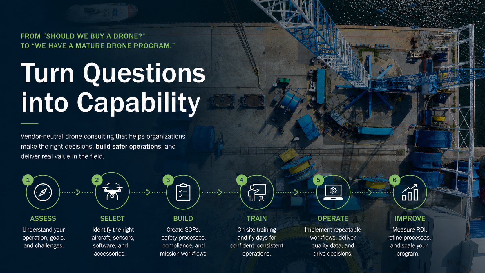
Wayfinder Air partners with construction, aviation, public safety, utilities, survey, and infrastructure organizations to design, optimize, and scale aviation and drone operations—from strategy and software to flight operations and training.
Most drone programs do not fail because of the drone.
They fail because the company buys before defining the use case, deliverable, pilot owner, software workflow, safety process, and ROI.
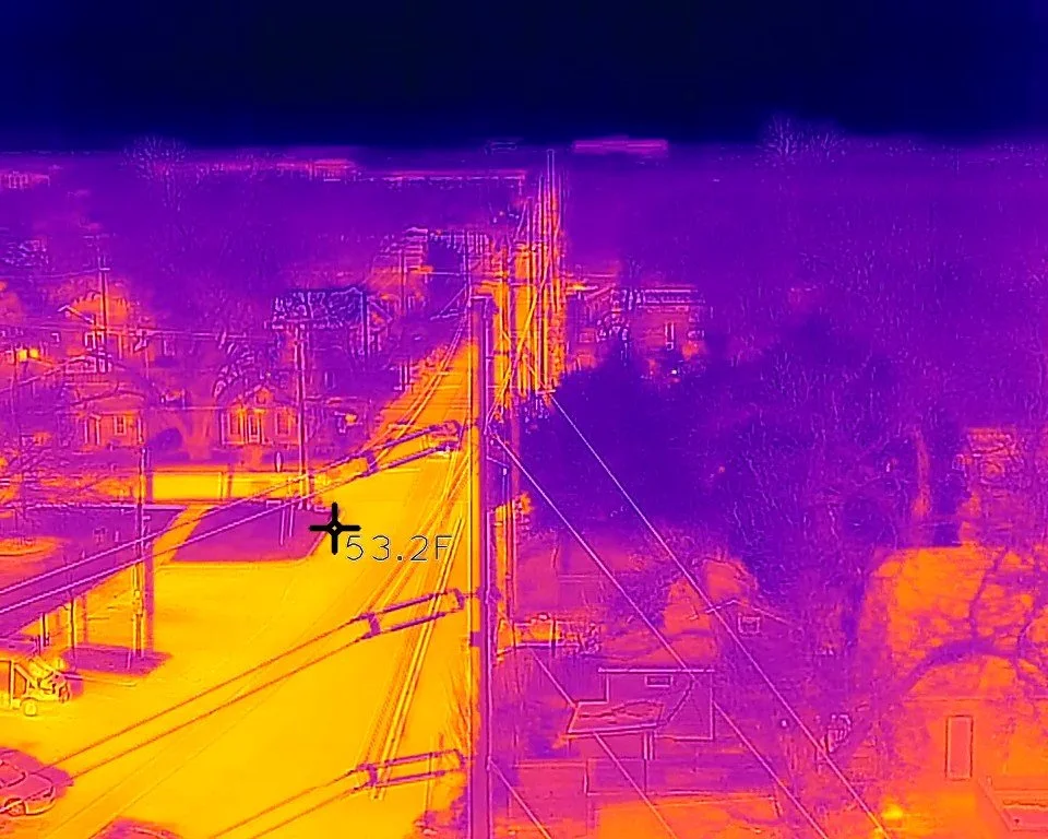
This video showcases thermal imaging, drone operations, public safety training, photogrammetry, field documentation, and sample deliverables — all examples of how drones can support safer, smarter, and more efficient work in the field.
SERVICES
-
Use-case analysis, equipment/software options, training needs, budget, risks, and buy-vs-outsource recommendation.
-
Compare aircraft, payloads, mapping platforms, accessories, support, and total cost without vendor bias.
-
SOPs, pilot roles, flight checklists, mission workflow, maintenance logs, safety process, and compliance binder.
-
Practical field training for teams that bought gear but need confidence, consistency, and safer operations.
-
From aircraft scheduling and maintenance tracking to drone mission planning, CRM, reporting, and enterprise workflow design, Wayfinder Air helps organizations build operational systems that scale—not just fly.
-
In addition to consulting, Wayfinder Air offers aerial photo and video services for real estate, land, construction progress, LiDAR and photogrammetry, social media, asset listings, RVs, boats, aircraft, outdoor property, films, commercials, and custom visual projects.
Start small with a paid assessment, then build only what the business case supports.
-
![]()
Thermal Workflows
-
![]()
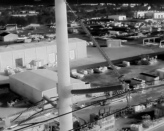
Powerline Inspections
-
![]()
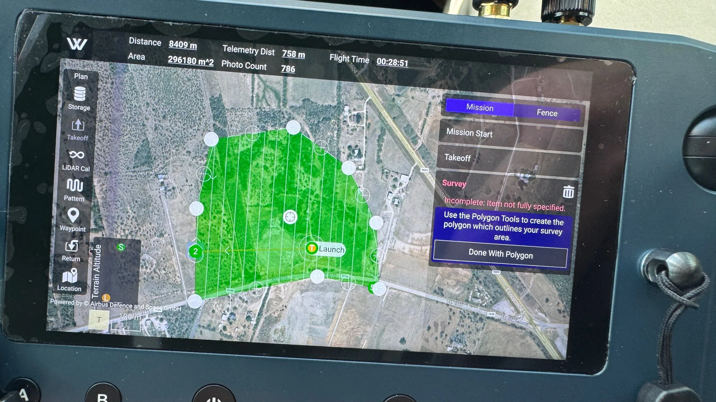
LiDAR Workflows
-
![]()
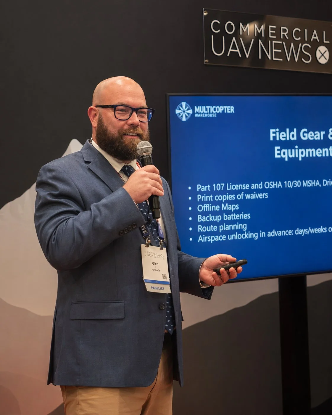
Speaking Engagements
-
![]()
Geospatial Advisory
-
![]()
Process & strategy consulting
-
![]()
OEM Training
-
![]()
energy audits
-
![]()
Operational Safety Planning
-
![]()
construction advisory